Surface Water


Water quality status of rivers in India – Report of Central Water Commission
Posted on 15 Jul, 2011 06:19 PMThe Level-I Laboratories are located at 258 field water quality monitoring stations on various rivers of India where physical parameters such as temperature, colour, odour, specific conductivity, total dissolved solids, pH and dissolved oxygen of river water are observed.
Kalamandir-CCAF is looking for civil engineering-watershed at East Singhbhum, Jharkhand – Apply by July 20, 2011
Posted on 15 Jul, 2011 04:31 PMContent courtesy: DevNetJobsIndia
 Kalamandir operates with a vision to foster necessity and accessibility of arts and aesthetics in our day to day social life. We are engaged in constantly supporting, nurturing and disseminating the finer aesthetic sense among individuals, communities, organization s and social groups.
Civil engineer (degree or diploma) with experience of working in watershed development programme of government of India may apply for the post of civil engineer-watershed.
Summer monsoon transforms northeastern Bangladesh - Updates from NASA Earth Observatory in 2011
Posted on 15 Jul, 2011 02:57 PMArticle and Image courtesy: NASA
 Bangladesh typically experiences a mild winter from October to March; a hot, muggy summer from March to June; and a warm, rainy monsoon from June to October. By early July 2011, rains had already transformed northeastern Bangladesh.
Indus Equation' report by Strategic Foresight Group - Provides clarifications on the water issues between India and Pakistan
Posted on 13 Jul, 2011 04:38 PM
Floods and heavy downpour in West Bengal in June 2011 - A rapid assessment report by Oxfam and Save The Children
Posted on 12 Jul, 2011 02:23 PMArticle courtesy: Corporate Disaster Resource Network
Assessment team:
Oxfam India – Mr. Pradeep Bharwad (Technical Assistance), Mr. Bhaswar Banerjee, Mr. Amit Sengupta
Save the Children - Mr. Abinash Lahkar, Mr. Piyush Kumar
Kajla Jana Kalyan Samity - Tapas Jana and Dipak Banerjee
Areas assessed: Moyna & Panskura Block of East Midnapore District of West Bengal
Assessment date: 24th June, 2011
Water - Asia's new battleground by Brahma Chellaney: A new book from the Georgetown University Press
Posted on 12 Jul, 2011 01:48 PM The battles of yesterday were fought over land. Those of today are over energy. But the battles of tomorrow may be over water. Nowhere is that danger greater than in water-distressed Asia.
Analysing the role of geomorphic features in Kosi flood – An article in Geospatial World
Posted on 12 Jul, 2011 10:45 AMKosi is known as the sorrow of Bihar due to its frequent and often disastrous floods. The major geomorphic units of flood-inundated area in Kosi fan (terrain of Kosi river in India) are sand bars in the form of inter-connected drainage networks, an ox-bow lake and its meandering cut-off and imprint.
National Water Policy - An alternative draft for consideration by Ramaswamy R Iyer - Economic and Political Weekly
Posted on 10 Jul, 2011 08:31 AMThe paper sets forth for consideration a broad national perspective on the nature of water and on its prudent, wise, sustainable, equitable and harmonious use. The Ministry of Water Resources is at present engaged in revising the National Water Policy 2002. Iyer is of the opinion that instead of trying to make changes in the 2002 Policy, the Ministry should put it aside and draft a new policy, starting from first principles.
Measures to mitigate agrarian distress in Alappuzha and Kuttanad wetland ecosystem – A study report by MSSRF
Posted on 01 Jul, 2011 06:51 AM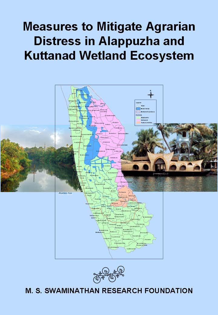 In spite of its natural wealth, the Alappuzha district has a high proportion of population living in poverty.
Recognizing that the process of preparation of a mitigation plan report is as important as the product, the MSSRF team held wide ranging consultations with all concerned with the economy, ecological security and livelihood security of Kuttanad wetlands. Information on the consultations held and visits made are given in the report. It contains a malady-remedy analysis of the problems and potential solutions.
The greatest challenge in dealing with multidimensional problems in our country is our inability to generate the necessary synergy and convergence among the numerous government, non-government, civil society and other agencies involved in the implementation of the programmes such as those outlined in this report. This is why the team has suggested both high-level policy guidance and monitoring committee as well as a task implementation mechanism.
Himalayan solutions for cooperation and security in river basins : A report by Strategic Foresight Group
Posted on 29 Jun, 2011 07:03 PM This report by the Strategic Foresight Group is a follow-up to its earlier report The Himalayan Challenge: Water Security in Emerging Asia, 2010 . The growing water stress, plans for dams on shared rivers, and uncertainties about the precise impact of climate change have brought water to the forefront of the political agenda of countries in the Himalayan River Basins.
The report recommends policy options for national governments as well as strategies which can be implemented by local authorities and community groups in a politically viable manner. Some of the ideas may on the surface appear to be addressing micro-level issues. However, such micro-level issues do have an important bearing on security at the macro-level in a large continent such as Asia. This is the experience of many other regions as well, as illustrated in several of the chapters in this report.
The objective of this report is to explore how river basins in the Himalayan region, and particularly shared water resources, can foster cooperation and security between Bangladesh, China, India and Nepal. The conventional view is that depleting water resources, growing problem of pollution, uncertain risks posed by climate change together may lead to competition for resources, migration, social instability, internal conflicts and diplomatic tensions between countries. This view is realistic and was discussed in detail in a previous report of Strategic Foresight Group. It has contributed to spreading the awareness of security risks associated with water crisis in the Himalayan region.