Surface Water
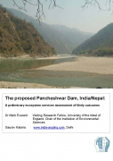
A preliminary ecosystem services assessment of likely outcomes of the proposed Pancheshwar dam in India/Nepal - An IES report (2010)
Posted on 02 Aug, 2010 02:24 AM This report by the IES presents the findings of a study that explores the likely impacts of the recent proposals in India to build a dam at Pancheshwar in the Himalayas on the river ecosystems and the surrounding areas and people involved. This dam will be the world's second tallest structure intended to harness hydroelectric power and water by controlling the flow of the Kali river and its tributaries.
The document argues that although there are many benefits of the dam in terms of energy and water, the wider ramifications of the dam and its consequences for the people staying around the area have not been thought about in the planning process. The planning process has not engaged local people in the decision-making process, there is paucity of published information and the environmental and social consequences have been considered belatedly in the planning process.
Rapid assessment survey of Kodaikanal lake - ENVIS Centre (TN) (2009)
Posted on 02 Aug, 2010 02:02 AM This document by the Department of Environment, Government of Tamil Nadu highlights the importance of the Kodaikanal lake as an important tourist destination and warns that this freshwater lake is under the threat of getting polluted and its biodiversity endangered.
The document presents the findings of the study that aimed at assessing the physico-chemical and biological quality of the Kodaikanal lake.
Evidence indicates that unrestricted tourism activities have led to high use of plastic bottles, glass bottles, plastic bags, causing high levels of pollution and silting of the lake. Damaged fibreglass boats left inside the lakes also pose a serious threat to the lake ecosystem.
Myths about small water harvesting systems - EPW paper
Posted on 02 Aug, 2010 01:17 AMThis article is written in response to an earlier published article “Chasing a Mirage: Water Harvesting and Artificial Recharge in Naturally Water-Scarce Regions” in the Economic and Political Weekly and argues that the paper makes a number of assertions about small water harvesting systems, that are based on faulty assumptions and inadequate information.
The encroaching Ganga and social conflicts: The case of West Bengal
Posted on 01 Aug, 2010 01:39 AMThis report deals with the social conflicts emerging out of the encroachments owing to the change in course of the Ganga upstream and downstream of the Farakka barrage. The barrage was built with the intention of diverting water into the Hugli river with a view to flush the sediment load into the deeper part of the estuary and revive the navigational status of Kolkata port. During the last three decades of its operation, the silt-management in the barrage was given scant or no attention. The sediment movement in the tidal estuary of Hugli is a function of a complex fluvial system that can hardly be governed by inducing 40000 cusec of water.
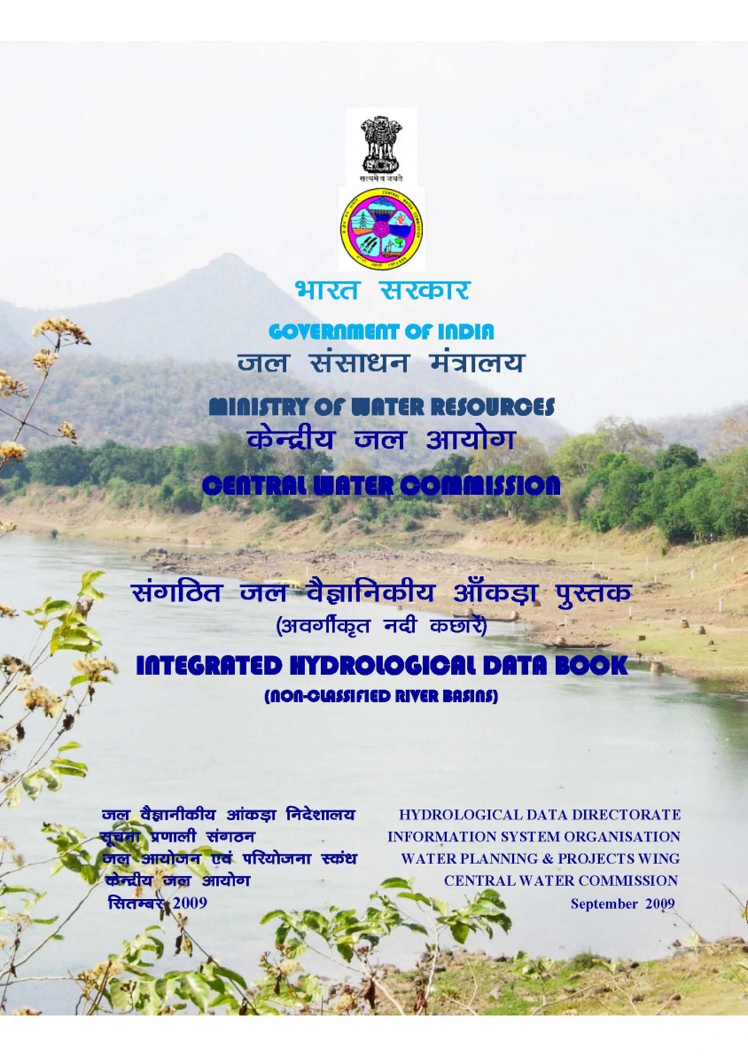
Integrated Hydrological and Water Data Books - Central Water Commission (2005-09)
Posted on 01 Aug, 2010 12:52 AM Integrated Hydrological Data Books are a compendium of important hydrological information of twelve non-classified basins (i.e., other than Ganga and Brahmaputra) consolidated at the national level by the Central Water Commission (CWC).
It covers basic hydrological data on gauge, discharge, silt, sedimentation and water quality collected on a regular basis by the CWC regional field offices, who document it in the form of a Water Year Book, Sediment Year Book and Water Quality Year Book. These along with the relevant land use statistics collected by the Ministry of Agriculture are integrated into this Data Book.
The information is of use to planners, researchers, policy makers and the public at large.
Estimation of rate and pattern of sedimentation and useful life of Dal Nagin Lake in Jammu and Kashmir - A research report by National Institute of Hydrology
Posted on 31 Jul, 2010 11:27 AMThe study determines rates of sedimentation and estimates the useful life of Dal-Nagin lake situated in Srinagar, Jammu and Kashmir using radiometric techniques. In spite of various ecological problems the lake is the largest freshwater lake in India. It has four major sub-basins viz., Hazratbal, Bod Dal, Garibal and Nagin. The lake is fraught with the problem of growth of underwater weeds and increasing rate of sedimentation.
Development of operation policy for Tawa dam – A research report by National Institute of Hydrology
Posted on 30 Jul, 2010 07:57 PMThe study deals with the development of an operation policy for the Tawa dam. It adopts rule-curve based policy for conservation regulation of the dam developed for three levels viz. upper rule level, middle rule level (critical for irrigation) and lower rule level (critical for water supply and upstream use). The generated simulation model developed by the Water Resources System Group at the National Institute of Hydrology is used to simulate the system operation and to refine the rule curves.
Flood plain mapping in a part of Yamuna basin – A research report by National Institute of Hydrology
Posted on 30 Jul, 2010 07:47 PMThe study deals with flood plain mapping in a part of Yamuna basin between Gangoh and New Delhi. A flood is a markedly high stage of flow in a river and may inundate adjoining lands, which is called the floodplain of a river. So, floodplain is land inundated by a flood of given frequency. Alternately it is also defined as flat land between valley walls.
Application of HEC – 2 programme for water surface profile determination of river Digaru at Sonapur – A research report by National Institute of Hydrology
Posted on 30 Jul, 2010 07:38 PMIn this study, HEC 2 programme has been implemented on river Digaru to compute flow regime or the water surface profile for various discharge conditions. In this reach, two bridges have been considered to compute water surface elevations, critical water surface elevations, energy grade elevations & slope, velocity in the channel, flow area, top width and Froude Number.
Environmental flows: Free-flowing rivers around the world
Posted on 30 Jul, 2010 11:56 AMThis is the first in a new series of articles that IWP will host on various aspects of Environmental Flows. We welcome your comments and original articles for this series, please mail us at portal@arghyam.org
The other side of the story: Free-flowing rivers around the world
With around 5100 large dams, India ranks third in the world with regards to the number of large dams. The ongoing debate over the economic, social and environmental costs of large dams has indicated many times that these costs are not commensurate with their benefits. Although we have dammed all our major rivers, (except Brahmaputra and plans to dam its major tributaries are on way, some like Ranganadi have already been dammed), profoundly changing their hydrological, ecological, social and cultural systems, we are yet to form a policy which states that environmental flows in rivers are a necessity. It is more than clear now that environmental flows relate to well being of not only ‘birds and fishes’, but also of the entire human society . Take an example of fisheries, lack of flows in rivers and contractor-owned reservoir fishing has affected the livelihood of hundreds of thousands of small fishermen . Environmental flows also dilute pollution load, so let us not hide behind the fact that pollution is wiping out our riverine fish, not the absence of flows. It is also clear that environmental flows do NOT mean a decommissioning of all the present dams, nor do they mean any random figure like 60% or 10% of MAR . Eflows require reaching a wise compromise through science and local negotiations, for each river.
While many countries have put in place policies and laws for maintaining environmental flows in their rivers, there is also a rarer category: Rivers which have not been dammed yet, rivers which retain their connection from the source to the sea, nurturing myriad ecosystems and communities in their wake! These are known by many names like Free flowing rivers, Wild Rivers, Pristine/ Virgin rivers, Heritage Rivers, etc., each indicating their rare character and value. In ecological and cultural terms, the value of these rivers is immense and as more and more rivers are being dammed the world over, this value is increasing steeply. Unfortunately, in today’s economic terms, these rivers are still waiting to get their due recognition, but as human systems evolve, they will surely be seen as ‘invaluable’ service providers with phenomenal use and non use values.


