Rivers
Environmental flows in river basins: A case study of river Bhadra - Current Science
Posted on 26 Aug, 2010 12:50 PMThe quantity and seasonality of water flow in a river may greatly change from its normal condition between a major storage and downstream, thus paving the way for drastic changes in the riverine ecosystem. ‘Environmental flow’ refers to the amount of water considered sufficient for protecting the structure and function of an ecosystem and its dependent species.
The paper goes on to describe the case of river Bhadra, which is the site of a dam that has significantly altered the natural flow of the river and describes the study that aimed at conducting the environment flow analysis of the river.
Groundwater externalities of surface irrigation transfers under national river linking project: Polavaram – Vijayawada link
Posted on 25 Aug, 2010 05:00 PMThis document published by IWMI and CGIAR describes the details of the Polavaram project, which has been planned by the state of Andhra Pradesh as a multi-purpose project:
- to provide irrigation benefits to the upland areas
- to provide a water supply to the industries in Visakhapatnam city, including the Steel Plant, for the generation of hydropower
- for the development of navigation and recreation facilities.
The project envisages the construction of an earth-cum-rock filled dam that is 1,600 m long across the Godavari River at Polavaram, and about 42 km upstream of the Godavari Barrage at Dowlaiswaram.
Water-use accounts in basins: Model concepts and description – A working paper by the Challenge Program on Water and Food
Posted on 16 Aug, 2010 12:18 PMThis paper deals with basin water use accounting and is a contribution to the synthesis work of the CGIAR Challenge Program on Water and Food's (CPWF) Basin Focal Projects. It provides a means to assess the interactions between water, food, poverty, and the environment and helps develop sound information about water availability in a basin, where it goes and how it is used.
Dams and development: A new framework for decision-making - A World Commission on Dams report
Posted on 15 Aug, 2010 01:51 PMThis report by the World Commission on Dams begins by arguing that the debate about dams is a much broader issue and is important for everyone since it is a debate about the very meaning, purpose and pathways for achieving development. It is complex because the issues are not confined to the design, construction and operation of dams themselves, but include a range of social, environmental and political choices that define development.
Dams fundamentally alter rivers and the use of a natural resource, frequently entailing a reallocation of benefits from local riparian users to new groups of beneficiaries at a regional or national level. At the heart of the dams debate are fundamental issues of equity, governance, justice and power. The report argues that the main challenge lies in reconciling the competing needs between different groups of actors and provides a framework to deal with these fundamental issues in the dam debate.
National Hydroelectric Power Corporation: People don't matter - A dossier by Urgewald
Posted on 11 Aug, 2010 01:24 PMThis document by Urgewald provides a brief overview on the role of India's premier dam building agency, the National Hydroelectric Power Corporation (NHPC) in the construction of dams in India and is highly critical of the mode in which the NHPC has been aggressively expanding its operations of building dams across rivers in the country.
It aims to inform the public, investors and financiers about NHPC’s track record and expansion plans and presents compiled information from three regions where NHPC has been actively involved in the construction of dams namely:
- Narmada Valley in Central India
- Sikkim and Arunachal Pradesh in Northeastern India
- The lands of the Kuki people in Northwestern Burma, where NHPC is building a dam for the military junta.
Floods, drinking water contamination, mining and waterbodies, water bills, water conflicts - News roundup (1-7 August 2010)
Posted on 07 Aug, 2010 04:51 PMFloods: lessons to be learnt from the massive flooding in Surat city
A report by IIM criticises the way in which dams are managed in the country and calls for the need to apply Management Science / Operations Research techniques and information technology to improve dam management and prevention of floods
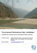
A preliminary ecosystem services assessment of likely outcomes of the proposed Pancheshwar dam in India/Nepal - An IES report (2010)
Posted on 02 Aug, 2010 02:24 AM This report by the IES presents the findings of a study that explores the likely impacts of the recent proposals in India to build a dam at Pancheshwar in the Himalayas on the river ecosystems and the surrounding areas and people involved. This dam will be the world's second tallest structure intended to harness hydroelectric power and water by controlling the flow of the Kali river and its tributaries.
The document argues that although there are many benefits of the dam in terms of energy and water, the wider ramifications of the dam and its consequences for the people staying around the area have not been thought about in the planning process. The planning process has not engaged local people in the decision-making process, there is paucity of published information and the environmental and social consequences have been considered belatedly in the planning process.
Myths about small water harvesting systems - EPW paper
Posted on 02 Aug, 2010 01:17 AMThis article is written in response to an earlier published article “Chasing a Mirage: Water Harvesting and Artificial Recharge in Naturally Water-Scarce Regions” in the Economic and Political Weekly and argues that the paper makes a number of assertions about small water harvesting systems, that are based on faulty assumptions and inadequate information.
The encroaching Ganga and social conflicts: The case of West Bengal
Posted on 01 Aug, 2010 01:39 AMThis report deals with the social conflicts emerging out of the encroachments owing to the change in course of the Ganga upstream and downstream of the Farakka barrage. The barrage was built with the intention of diverting water into the Hugli river with a view to flush the sediment load into the deeper part of the estuary and revive the navigational status of Kolkata port. During the last three decades of its operation, the silt-management in the barrage was given scant or no attention. The sediment movement in the tidal estuary of Hugli is a function of a complex fluvial system that can hardly be governed by inducing 40000 cusec of water.
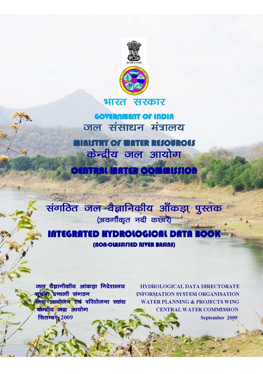
Integrated Hydrological and Water Data Books - Central Water Commission (2005-09)
Posted on 01 Aug, 2010 12:52 AM Integrated Hydrological Data Books are a compendium of important hydrological information of twelve non-classified basins (i.e., other than Ganga and Brahmaputra) consolidated at the national level by the Central Water Commission (CWC).
It covers basic hydrological data on gauge, discharge, silt, sedimentation and water quality collected on a regular basis by the CWC regional field offices, who document it in the form of a Water Year Book, Sediment Year Book and Water Quality Year Book. These along with the relevant land use statistics collected by the Ministry of Agriculture are integrated into this Data Book.
The information is of use to planners, researchers, policy makers and the public at large.


