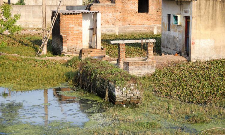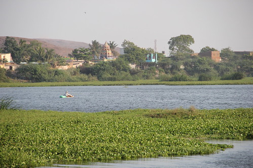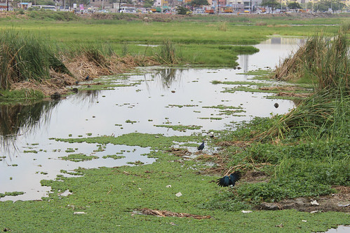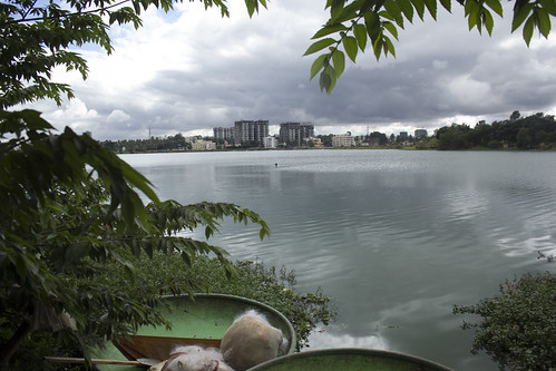
South India's rivers are rain-fed unlike those in the North, which are glacier-fed due to the contrasting topography and climate. Unlike the Himalayan system, many of India’s peninsular rivers dry up during the hotter half of the year, leaving lips and fields equally parched. As cities and towns flourished on the banks of rivers or otherwise, the importance of having a perennial water source to provide for the burgeoning population only increased.
Simple earthen tanks to hold rainwater as buffer stock, in case the rains fail and the rivers run dry, were conceptualised to ameliorate the negative effects of the harsh southern summer. Over the years, many factors have resulted in the deterioration, or in some cases, the total disappearance of these century old tanks leaving administrators and planners perplexed.

The curious case of Chennai
There is no denying that there exists a deep-seated connect between unplanned urbanisation and urban flooding. Southern India’s cascading systems’ beauty lies in the fact that tanks, designed to hold water to a certain level, were rigged to get rid of the excess with the help of carefully planned channels powered by gravity into waterbodies downstream. When the delicate balance between the supply, storage and dispensation of even a single tank is messed with, the entire system chokes, leaving behind a trail of dysfunctional reservoirs -- as was evident during the December 2015 deluge in Chennai.
This unnecessary catastrophe brought to the forefront the fundamental flaws in the city’s infrastructure planning and development. The flatness of the terrain necessitated a system of eris and their water channels to help carry the excess rainwater out of the city in the north and west, while the Pallikaranai marshland in the south gets rid of the surplus water into the Buckingham Canal through the Okkiyam Maduvu.
Only a portion of the Pallikaranai marshland remains wet throughout the year; most parts turn dry only to be refilled once the monsoon hits the coast. The ‘Periya Kazhiveli’ as the main marshland is called, is connected to a smaller marsh, the ‘Chinna Kazhiveli’, through the Okkiyam Maduvu before the water empties into the Bay of Bengal. Whether this natural phenomenon has caused confusion and misunderstanding in the minds of the people and planners alike is not clear but the result is that parts of the wetland have been considered 'dead' and hence, set aside for infrastructure development. With buildings coming up, the floodplains have narrowed down in size thereby obstructing the water flow during heavy rains.

The Tamilnadu Slum Clearance Board’s Kannagi Nagar settlement is located bang in the middle of the system while a portion of the marsh is home to one of Chennai’s landfill sites – the Perungudi dump yard. Not surprisingly, the Pallikaranai marshland has reduced from from 5000 to 500 hectares in just about 40 years.
T.K. Ramkumar, a Chennai based advocate working on environmental issues, squarely blames the lack of adequate legal framework to address the effects of uncontrolled urbanisation. To begin with, wetland identification and mapping exercises are rarely done. Unused waterbodies are often neglected as they do not bring in any revenue for the state departments. Despite the fact that the Wetland Rules notified by the MoEF in 2010 bans the dumping of solid waste into waterbodies and restricts the conversion of wetlands, the same continues unhindered, not just in Chennai but in many cities across the country.
Chennai is not alone
Sushmita Sengupta from the Centre for Science and Environment maintains that Chennai is not alone in this. Past disregard for the environment has left cities across the country battling their own demons. Encroachment of water bodies continues unhindered in many of the country’s metropolitan cities including Bengaluru and Mumbai. Earlier this year, a panel set up by the Karnataka legislature confirmed that a majority of the lakes in Bengaluru have been encroached upon and the Bangalore Development Agency was one of the foremost culprits responsible for choking up close to a third of all lakes in the city’s urban and rural districts.

The city of Srinagar on the banks of the Jhelum and the Dal Lake has witnessed a six-fold increase in built up area between 1911 and 2014 with the wetlands reducing by almost half. Stone quarrying and solid waste dumping has left Guwahati’s Deepor Beel suffocated while the Hansora and Damol Beels have been wiped off the city’s map altogether. Illegal mining has turned Faridabad’s Bhadkal lake bone dry while unplanned tourism threatens to destroy the unique estuarine ecosystem of Kerala’s Ashtamudi backwaters.
Of community participation and informed discussions
The list of waterbodies in distress across the country is disturbingly long. In order to preserve what is left, citizens and the administration should put their heads together and chalk out a viable conservation plans. Dr T.V. Ramachandra of the Indian Institute of Science, Bengaluru, is right in saying that the lack of awareness about Common Property Resources and the absence of a sense of belonging constitutes the core of public disinterest in protecting what is rightfully theirs. “The government is corrupt because we do not take active interest”, he says.
The urban planning exercise should no longer be the exclusive bastion of parastatals. Community participation should be encouraged, if not made obligatory. Water supply and sewerage planning should take precedence and the necessary infrastructure should be put in place before development ensues. Carrying capacity surveys should be made mandatory to improve the planning process. With most of the metro cities delicately poised, it is of utmost importance that the district development plans are re-examined to ensure that they do not violate the hydrological cycle of the region and correct existing deficiencies.
‘All for Water for All’ collective, working to protect water bodies in the Pondicherry-Auroville-Villupuram-Cuddalore (PAVC) bioregion, has embarked on a journey to celebrate man’s connection with water through a series of events involving local school children and villagers. Discussions in a worskhop hosted by the Collective in association with the Centre for Science and Environment on 'The state of waterbodies in South India' forms the basis of this article.