New Delhi, September 27 (India Science Wire): Rising sea levels, increasing number of extreme weather events, urban floods, changing temperature and rainfall patterns - such impacts of climate change are being felt in many parts of India, and not just in the coastal areas or hilly regions.
To prepare communities and people to meet the challenge arising out of such changes, information specific to a state or even district is needed because such impacts of climate change are not uniform. In order to meet this need, a pan India climate vulnerability assessment map is being developed.
The map is being developed under a joint project of the Department of Science and Technology and the Swiss Agency for Development and Cooperation (SDC).
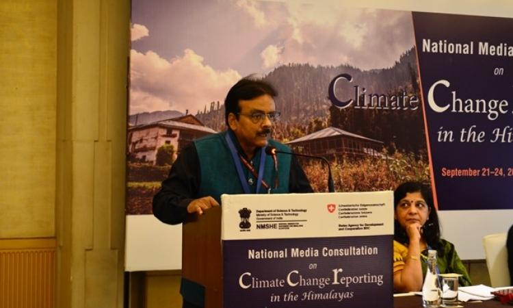
"Such a climate vulnerability atlas has already been developed for 12 states in the Indian Himalayan Region, using a common framework. Now this methodology will be extended to non-Himalayan states so that we can have a national level climate vulnerability profile for India. The atlas is expected to be ready by the middle of 2020," announced Dr. Akhilesh Gupta, head of the climate change programme at DST while speaking at a national media consultation on climate change in New Delhi.
Dr. Gupta said using a common methodology for assessing vulnerability was critical for comparison and for planning adaptation strategies. It also helps in identifying what makes a state or district vulnerable to climate change.
The vulnerability map for hilly states, released in March this year, showed that while all the Himalayan states are vulnerable, Assam and Mizoram are the most vulnerable among them. The map for the Himalayan region, developed in consultation with states, has details up to the district level. The national map will also do the same, as vulnerability within a state may differ from one region or district to another. A common set of indicators will be used vulnerability profile and ranking of 650 districts all over the country.
Dr. Gupta said the climate change research programme of DST was being implemented as part of the National Mission for Sustaining the Himalayan Ecosystem (NMSHE) and National Mission on Strategic Knowledge for Climate Change (NMSKCC). Among the priority areas identified for research are glaciology, climate modeling, urban climate, extreme events and Himalayan ecosystem studies. In all, there are climate change cells in 25 states in the country, with centres of excellence also being established at the state level for capacity building.
Climate risk is the interplay of hazard, exposure and vulnerability. While the occurrence of natural hazards such as landslides, droughts and floods is projected to go up, their impact depends on the level of exposure to people and infrastructure in areas that could be adversely affected, or to places where people's livelihoods are sensitive to changing climates.
"Vulnerability is the propensity to be adversely affected and can be measured in terms of both biophysical as well as socioeconomic factors. Addressing vulnerability can help reduce risk to climate change," explained Dr. Anamika Barua of IIT Guwahati, who led the vulnerability assessment project for the Himalayan region.
Among the socio-economic and demographic factors that determine vulnerability are population density; percentage marginal farmers; livestock to human ratio; per capita income; number of primary healthcare centres; and percentage of women in the overall workforce. Similarly, sensitivity of agricultural production is captured by indicators like percentage area under irrigation; yield variability; and percentage area under horticulture crops.
Dr. Mustafa Ali Khan (Indian Himalayas Climate Adaptation Programme) said some states had already started using the vulnerability assessment report, particularly while revising state climate action plans and developing adaptation projects. Mizoram has launched a state wide public awareness campaign on the basis of the assessment, while West Bengal has developed a decision support system for prioritizing springshed management project sites using the climate vulnerability map as an input.
The consultation was organised by DST, IHCAP and Centre for Media Studies (CMS).
(India Science Wire)