The paper seeks to take one step forward in the direction of better water data, by highlighting currently available data relevant to water resources management, generated from remote sensing sources, government, citizens and other relevant global meteorological data. The idea for this paper arose from a need that was felt for strategies to address the lack of easily accessible open data in the water sector. The government at different levels effectively operates as the monopoly in monitoring the status of water resources in the country. Hence their shortcomings in making water data available affects the ability of researchers, civil society groups, businesses and citizens to understand the degree of water availability and demand, thereby making more sustainable decisions challenging. ? ?
The paper discusses specifications of different datasets, including information such as duration of data availability, spatial and temporal resolution, data formats, licenses, methods of access etc. The paper also compares these different datasets to assign a simple 'open data' score to each dataset. Links to relevant resources to understand and use each of the datasets have been listed. Though many datasets are highlighted the authors of the paper wish to make clear that no single data source must be considered accurate without question.
The hope driving this initiative is that a conversation opens up around these datasets beyond small academic communities. Once the data in question is openly available to all concerned stakeholder groups, only then can the quality of the debate around water data evolve. Working groups of multiple stakeholders deliberating on open data we hope could lead to better knowledge of the state of water resources. We request that you take some time to browse through the paper and offer your thoughts, comments, questions and feedback. General feedback via mail to pune@datameet.org and specific feedback as comments in the Google Doc.
Even after highlighting the availability of this data hurdles to access water data still remain because as it stands currently using these datasets is technically challenging. Hence in addition to this effort Datameet is also working towards building an open access web platform that simplifies access to these datasets even further. This tool would also allow juxtaposing community collected water data alongside global and national datasets, not just for visualization but also for analysis and 'bottom-up' model building. While this is a long term effort, the first iteration of this tool will be shared with you in the coming weeks.
The Open Water Data Paper
To take a step towards addressing some of the issues in data access highlighted here we put together a paper outlining the various datasets currently existing for water resource studies in India. The paper highlights a total of more than 40 datasets, from government sources, community crowdsourced data, and data produced by international scientific agencies. Commercial datasets have not been covered within this paper unless the source of the data is government.
Datasets
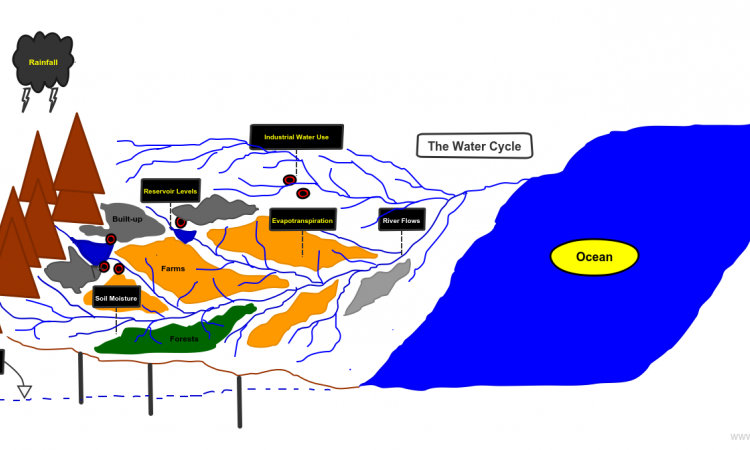
An overview of the datasets mentioned include
- Shapefiles - River network, water bodies, watershed/basin boundaries
- Elevation data
- Water availability- Rainfall, soil moisture, groundwater levels, reservoir storages, river flows
- Water demand- domestic demand, Evapotranspiration (agricultural consumption and forests), industrial demand.
Datameet and CIS welcome collaborations with water sector professionals (especially field researchers), civil society groups, Remote Sensing & GIS professionals and also especially web developers in this work. You can email them to discuss more.
For more information on the open water data paper please visit. Also, take a look at the attached paper by Datameet and CIS below.
Info on the Open Water Data (OWD) Web App is here.