The Indian Meteorlogical Department (IMD) defines drought as ‘the consequence of a natural reduction in the amount of precipitation over an extended period of time, usually a season or more in length, often associated with other climatic factors (viz. high temperatures, high winds and low relative humidity) that can aggravate the severity of the drought event.'
Data details
- We have used the monthly rainfall MET data of different stations for the period 1901 to 2002 for selected districts with long rainfall data series.
- The data used for this work, is the publicly available Climate Research Unit (CRU) TS2.1 dataset, out of the Tyndall Centre for Climate Change Research, School of Environmental Sciences, University of East Anglia in Norwich, UK.
- Published datasets consist of interpolated (on a 0.5 degree latitude-longitude grid) global monthly rainfall, temperature, humidity and cloud cover data, from 1901 to 2002 (Mitchell and Jones, 2005).
Drought calculation
The IMD calculates meteorlogical drought over an area as a situation when the seasonal rainfall received over the area is less than75% of its long term average value. Further classifications are:
- Moderate drought: If rainfall deficit is between 26-50%
- Severe drought: When the deficit exceeds 50% of the normal
Mapping information
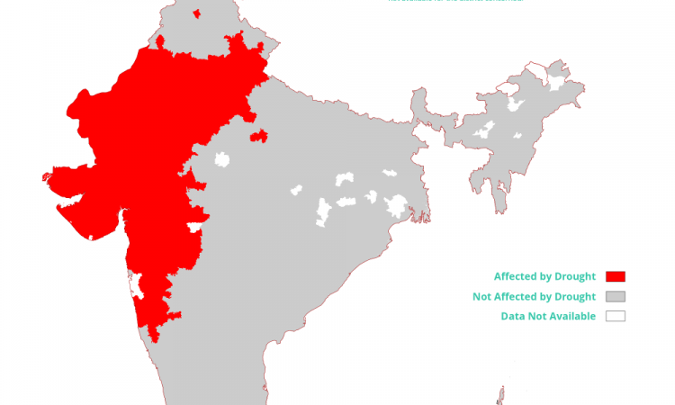
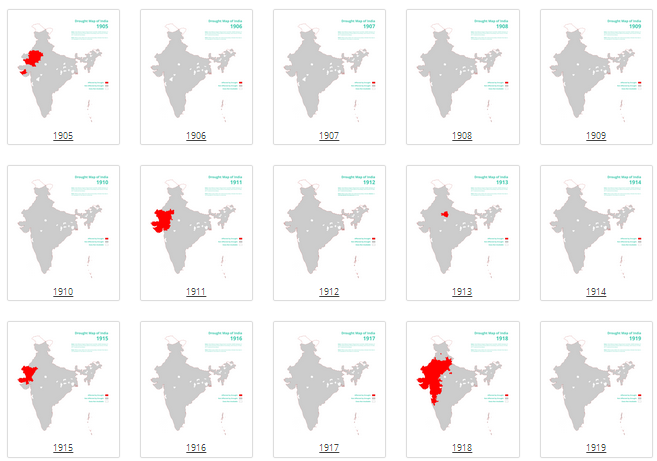
- We took MET data and created maps showing incidence of drought across districts of India, from 1905 to 1997.
- A district is considered to be experiencing drought if the annual rainfall for the district for the year is found to be less than 75% of the ten year moving average annual rainfall for the district for the year.
- This calculation doesn't explain all drought.
- Maps look at the decreasing rainfall patterns.
- It does not take into account numerous other factors that contribute to drought.
When the maps were generated, some interesting patterns emerged. We invite people to look at the data and contribute their own maps analysis and definitions of drought.
We hope this project inspires people to look at what contributes to drought and the data used and debate how we can improve the assessment.
Click on the images below for a closer look at the maps and for the methodology.
