The inhospitable Indus

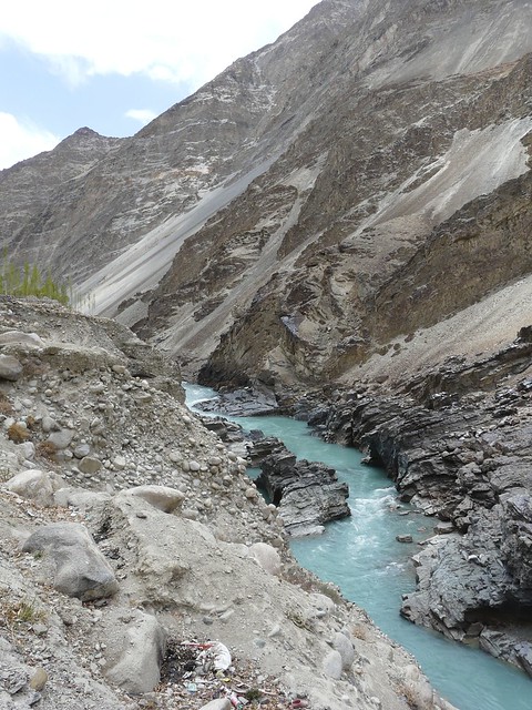
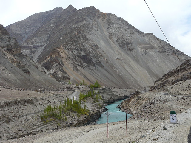
The Indus between Domkhar and Skurbuchen

Flowing through Tibet, northern India and Pakistan, the Indus is the western-most major river of the Indus-Ganga-Brahmaputra basin. This basin extends over most  of South Asia from the Himalayas to the Vindhyas, excluding Peninsular India, and carries the rain that falls in this region to the Indian Ocean. From its source to the sea, the Indus travels 3,180 kilometers, and drains 1,165,000 square kilometers. From Tibet, the river flows through Ladakh, where it meets its first major tributary- the Zanskar river.

The villages here are entirely dependent on the river for sustaining their lives. The Indus provides water for irrigation and livestock, brings silt to base the fields upon, and feeds the springs that provide drinking water. There is speculation that climate change could cause the glaciers that feed the river to dry up and greatly diminish river flows. What will this mean to the people and the land of Ladakh?
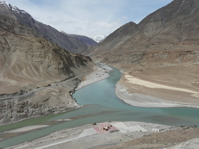
The Zanskar and the Indus meet, the two rivers slowly merging together


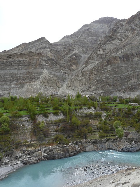
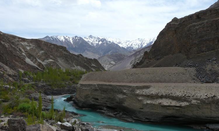
The Indus flowing through a gorge bordered by poplars, with rocky mountains in the background


Ladakh boasts some of the highest cultivated areas in the world. Most of these areas lie along the Indus and are irrigated by her waters .The fields in the photo, at Santakhchan illustrate the contrast between the irrigated fields and the great cold desert beyond.


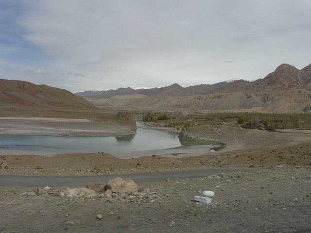
The river flows slowly through a broad plain; there are some poplars in the far background


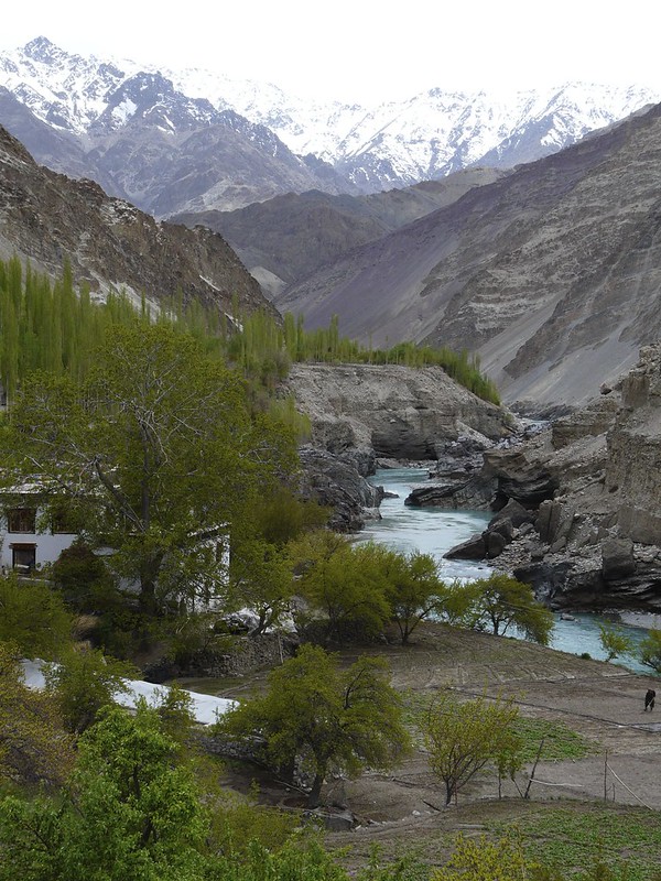
The Indus flows from top to bottom of the photo, snow clad peaks in the background, a fertile farm with a house, fields and orchards in the foreground


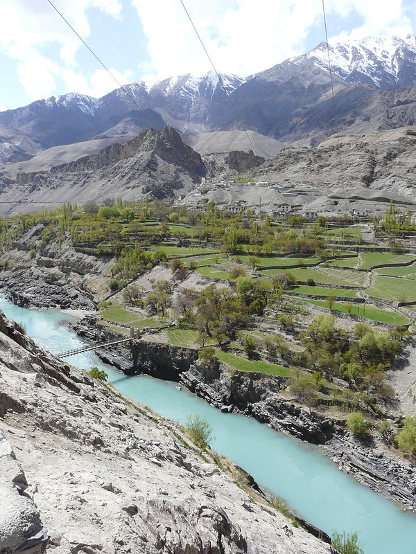
The Indus flows from left to right, with terraced fields and orchards on the far bank. The mountains loom over the fields


The Indus flows through a near-lunar landscape of grey-brown rocks and sand


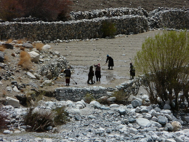
A small group of men and women hoe a field bordered by stone walls.


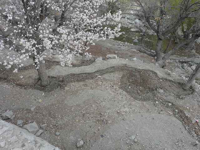
A small damp earthern channel winds through the base of flowering fruit trees


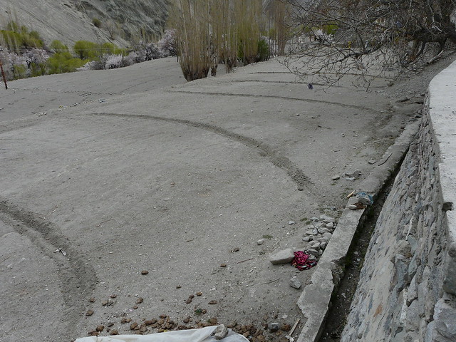
From the main channel (lined with concrete), subsidiary earth channels lead to the fields. The poplars in the backround multiply new branches growing out of mature stumps. This practice of repeatedly harvesting a tree is called coppicing and is a sustainable way of obtaining timber and fuel.


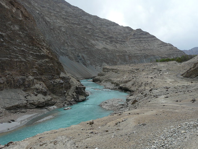
A bright blue Indus flowing through a rocky gorge

The Indus Water Treaty (1960) regulates the sharing of water between India and Pakistan. Among other provisions, it limits the construction of dams on the tributaries to the Indus as well as the river itself.  Due in part to the Indus Water Treaty and in part to the 'inhospitable' terrain, the Indus has not been subject to the same misguided 'development' as some of the other Himalayan rivers. Is this about to change? Do the people of Ladakh, and maybe the other beings dependent on this river, have a say in its future?

Post By: chicu
×