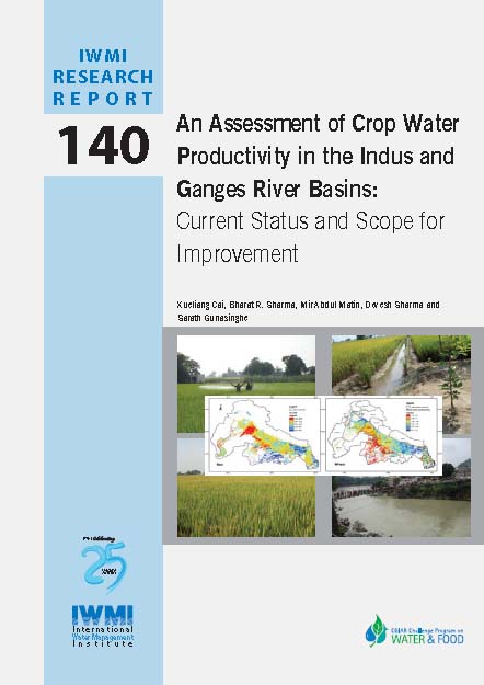
 This approach is based on the integration of readily available remote sensing, national crop productivity and land use statistics and weather data. Understanding crop water productivity over large river basins has significant implications for sustainable basin development planning.
Three major steps are involved in producing crop water productivity maps: (1) crop dominance map, (2) yield estimates, and (3) water consumption (evapotranspiration (ET)) estimates. The crop dominance map is synthesized from the relevant, and publically available, land use/land cover (LULC) maps with ground truth data. National statistics on crop area and yields are collected, and the yields are interpolated to grid level (500 meters (m) x 500 m) using Moderate Resolution Imaging Spectroradiometer (MODIS) Normalized Difference Vegetation Index (NDVI) maps.
Crop ET is mapped using Simplified Surface Energy Balance (SSEB) model with MODIS land surface temperature estimates and meteorological data (minimum, maximum and mean air temperature) collected from 56 weather stations. The study notes the following -
- High crop water stress is observed at basin level in spite of high rainfall during the kharif season.
- The basin average ET of rice and wheat is 368 and 299 millimeters, accounting for only 69% and 65% of potential ET, and 67% and 338% of rainfall of the crop growth period, respectively, measured from Tropical Rainfall Measurement Mission (TRMM).
- The basin average WP for rice and wheat is 0.74 and 0.94 kilograms per cubic meter (kg/m3), respectively, with significant variability.
- This variability generally follows the same trend as that of the crop yield regardless of changes in climate and topography. The sum of WP of rice and wheat, however, exhibits a different trend as a result of irrigation, on which wheat yields heavily rely.
- The scope for improvement of WP is assessed through comparison of the limited area under “bright spots” and the vast areas of low productivity “hot spots”. This comparison indicated that significant potential exists for improvements in water (and land) productivity in the middle to lower reaches of the Ganges Basin, where water is abundant but the high consumption was not converted into high crop yields.
Water is the determining factor for crop yields in most areas, which, however, has to be developed in light of environmental sustainability.
The paper can be downloaded at the website of the International Water Management Institute here